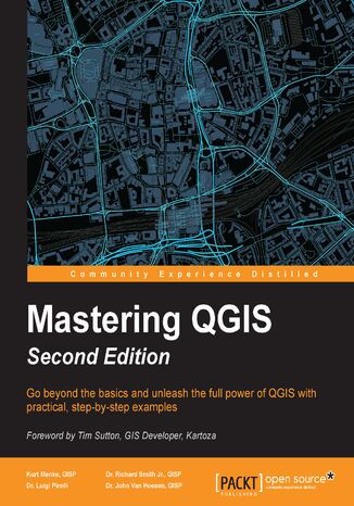
QGIS is an open source solution to GIS. It is widely used by GIS professionals all over the world.
Knowing which tools to use and how to apply them is essential to producing valuable deliverables on time.Starting with a refresher on the QGIS basics, this book will take you all the way through to creating your first custom QGIS plugin. From the refresher, we will recap how to create, populate, and manage a spatial database.
In the next section, you will discover how to prepare vector, heat maps, and create live layer effects, labeling, and raster data for processing. The last third of the book covers the more technical aspects of QGIS such as using LAStools and GRASS GIS’s integration with the Processing Toolbox, how to automate workflows with batch processing, and how to create graphical models.
By the end of the book, you will understand how to work with all the aspects of QGIS, and will be ready to use it for any type of GIS work.